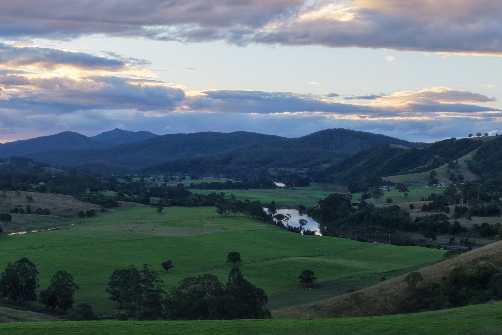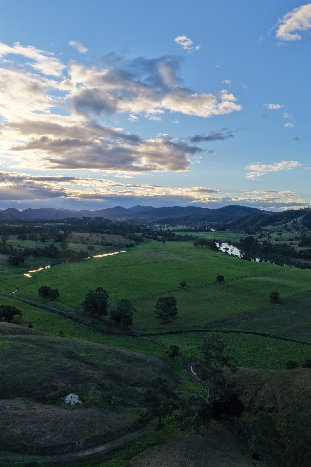
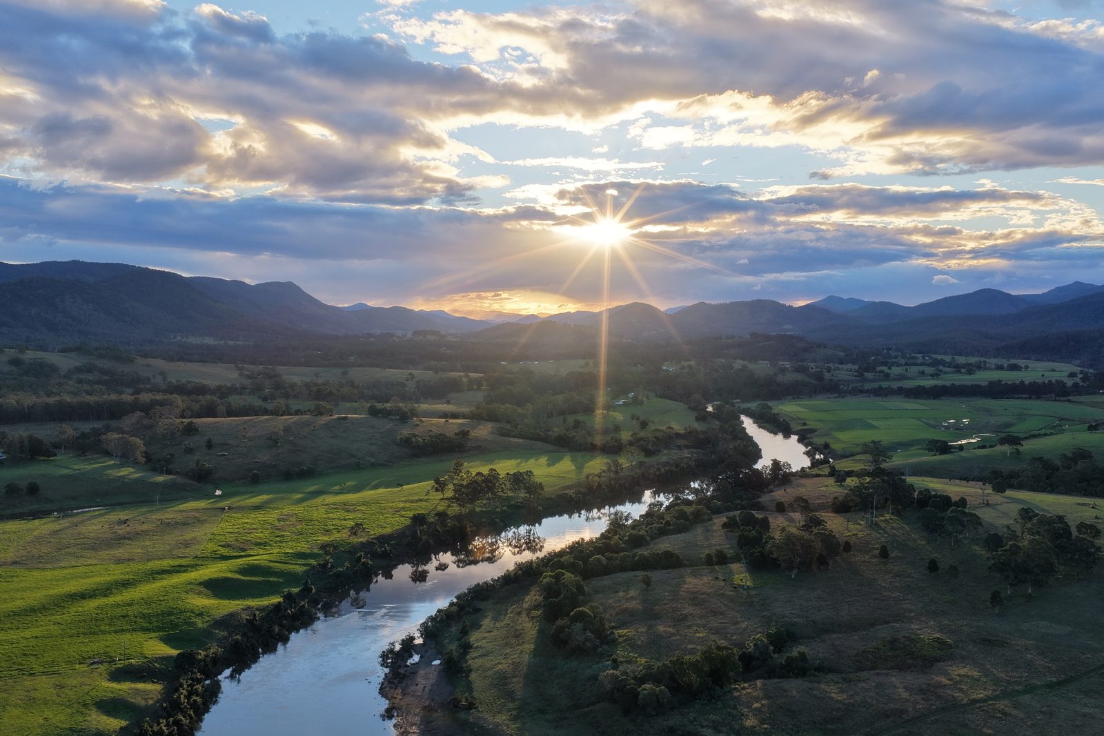
Late afternoon over the Manning River at Burrell Creek

Locations › Burrell Creek

2429

Burrell Creek

River flats, quiet farms and a much-loved community hall.

Late afternoon over the Manning River at Burrell Creek. Photo: Crew Agency

River flats, quiet farms and a much-loved community hall.

01Living in Burrell Creek

Burrell Creek is a farming locality in the Manning Valley, south-west of Taree, where the Manning River winds past river flats and grazing country.

Burrell Creek is a farming locality in the Manning Valley, south-west of Taree, where the Manning River winds past river flats and grazing country. The Bucketts Way and Gloucester Road both pass through. At the 2021 Census, 233 people lived here, in 110 private dwellings, spread across about 33 square kilometres.

The heart of the district is Burrell Creek Hall, which celebrated its 92nd anniversary in 2022 and has hosted community markets. Wingham, Tinonee and Taree are all close by for shops and schools.

02Community

Burrell Creek Hall
  • Burrell Creek HallCommunity hall, 92 years old in 2022, with marketsBurrell Creek NSW 2429

Map

Burrell Creek streets
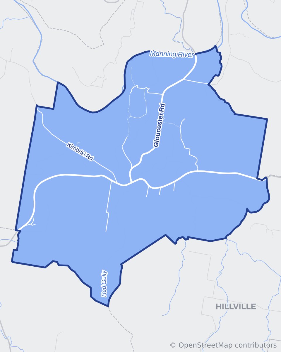
Street map of Burrell Creek with neighbouring suburbs shown in grey and water in blue
Map data © OpenStreetMap contributors, ODbL.

Pin board

Around Burrell Creek

Places, views and favourite spots around Burrell Creek.
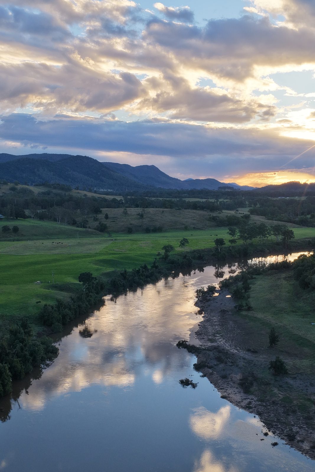
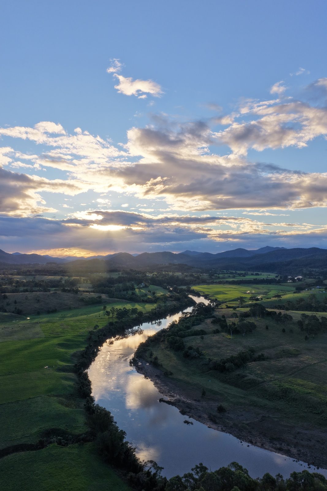
Clouds reflected in the Manning RiverPhoto: Crew Agency
Clouds reflected in the Manning River
Valley views, Burrell CreekPhoto: Crew Agency
Valley views, Burrell Creek
Street map of Burrell Creek with local places marked
Map of Burrell CreekMap data © OpenStreetMap contributors
Photo coming soonCommunityBurrell Creek Hall
Is this your business? Add your details, it’s free for Burrell Creek Hall
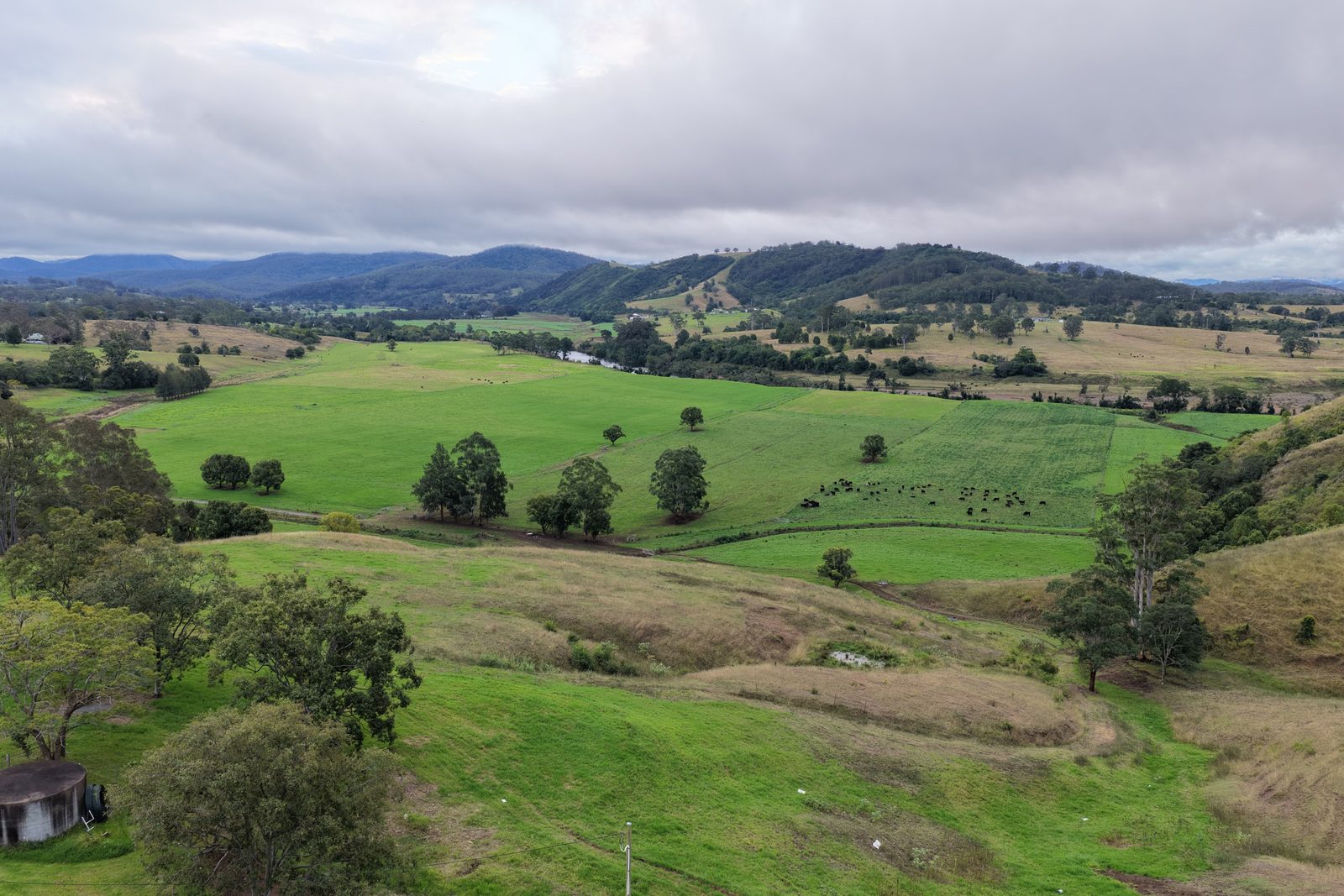
Rolling green hills, Burrell CreekPhoto: Crew Agency
Rolling green hills, Burrell Creek
The Manning River winding through Burrell CreekPhoto: Crew Agency
The Manning River winding through Burrell Creek
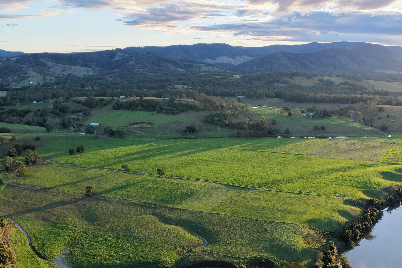
Green paddocks by the Manning RiverPhoto: Crew Agency
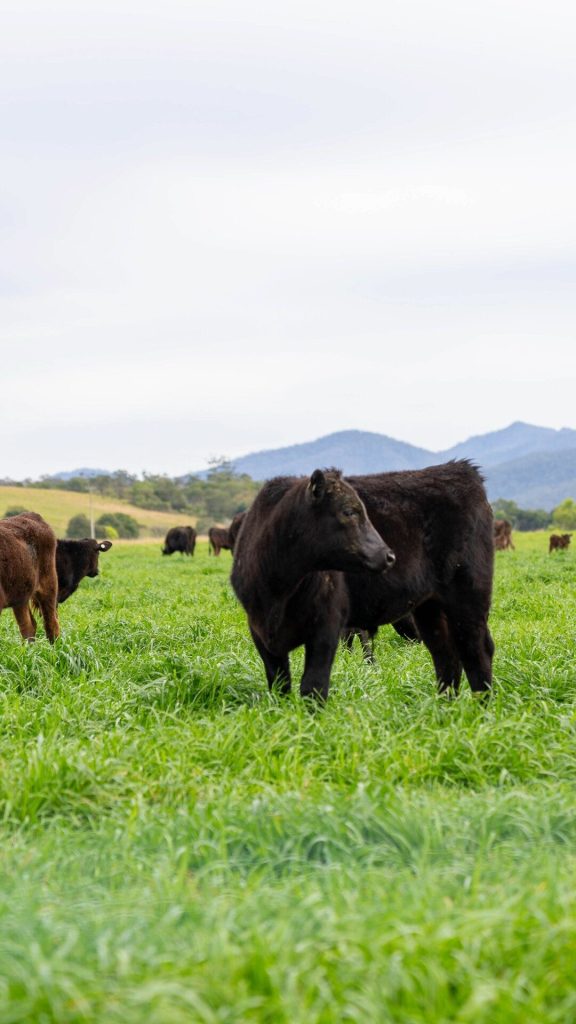
Green paddocks by the Manning River
Farmland from the airPhoto: Crew Agency
Farmland from the air
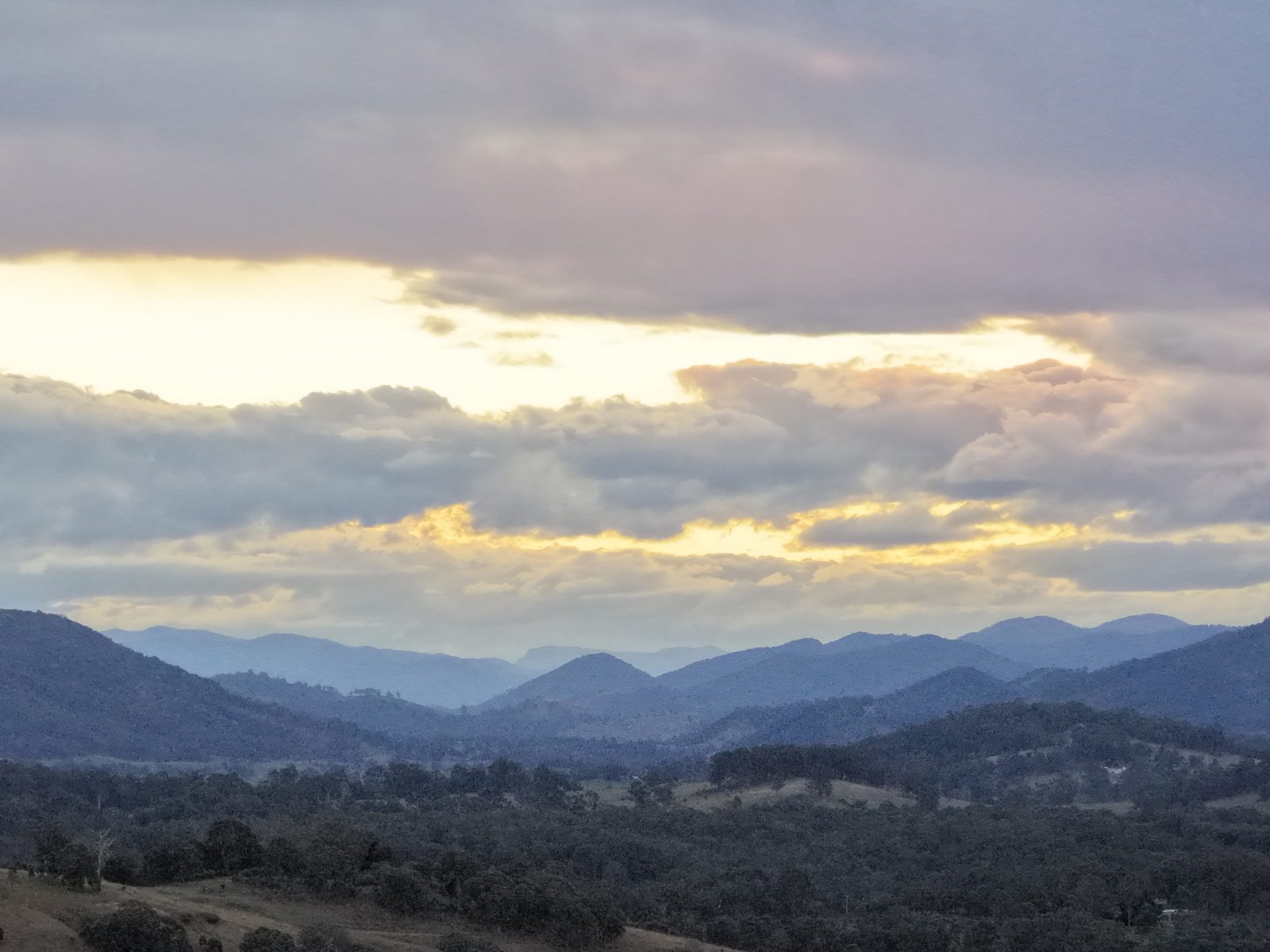
Ranges at duskPhoto: Crew Agency
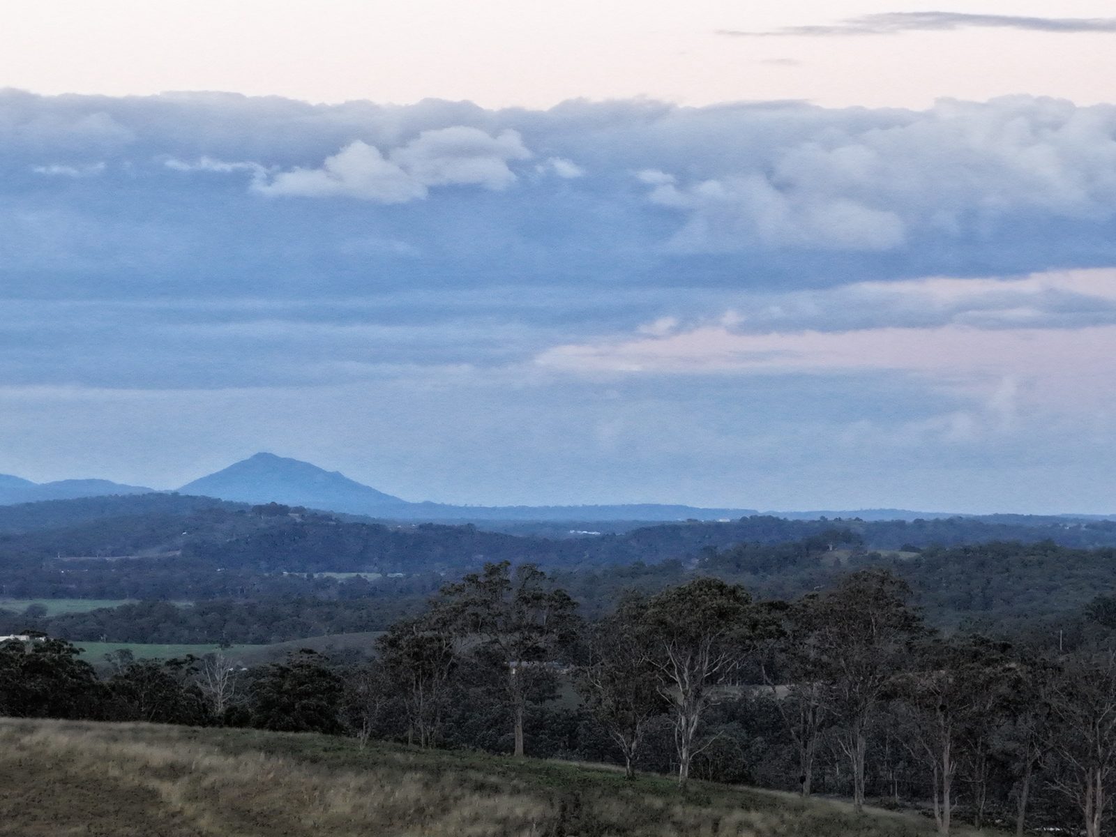
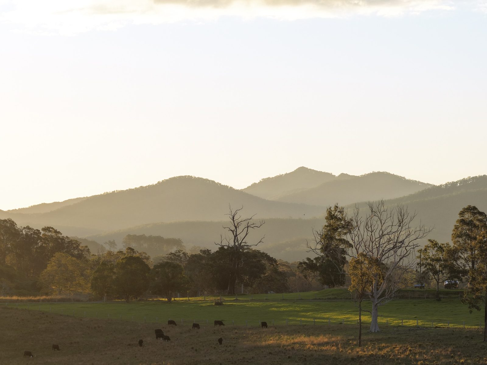
Ranges at dusk
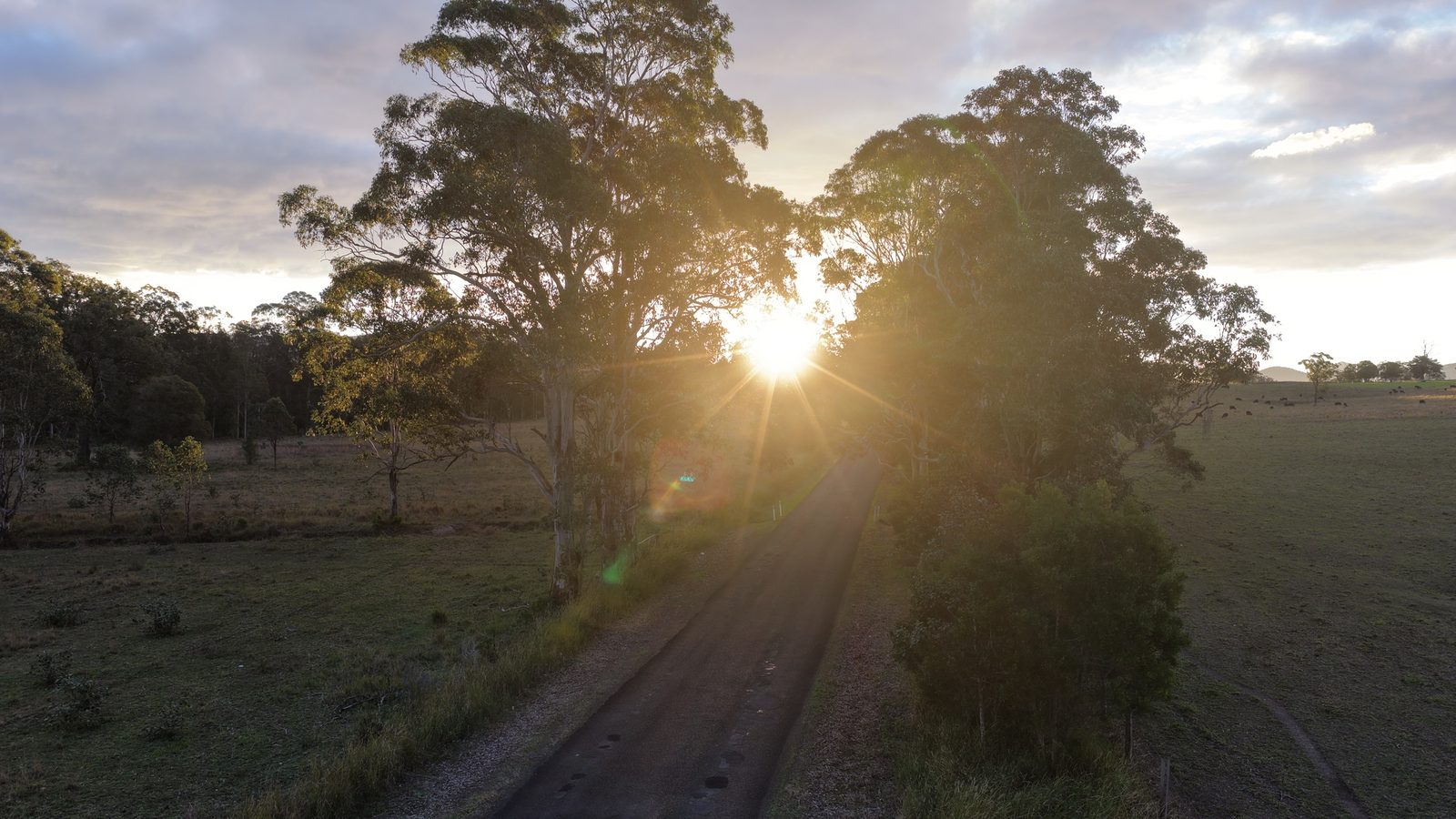
Evening sun through the gumsPhoto: Crew Agency
Evening sun through the gums
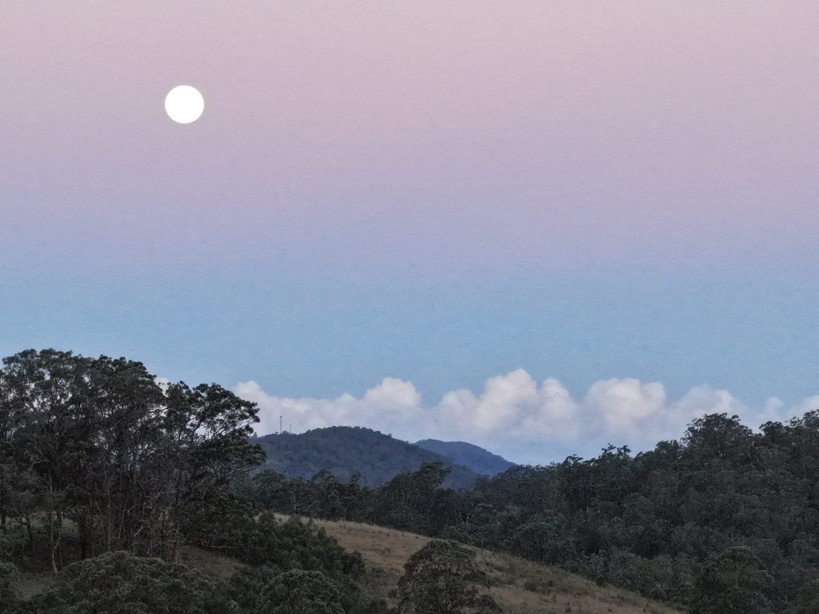
The moon over the hillsPhoto: Crew Agency
The moon over the hills
Hills at duskPhoto: Crew Agency
Hills at dusk
Evening light on the hillsPhoto: Crew Agency
Evening light on the hills

Photo credits: All photos: Crew Agency.

Local directory

Around Burrell Creek

Local businesses and places, listed for free. Own one? Add your details.

Landmarks & culture 1

Tradies

Local tradies 0

None listed yet.

Also service this area 0

None listed yet.

Manning Valley

Nearby country

  • 2430

    Hillville

    Rolling hills, big skies and room to breathe.

    Postcode 2430

  • 2430

    Tinonee

    A river village with a long story, across the water from Taree.

    Postcode 2430

  • 2429

    Wingham

    A friendly country town with rainforest on its doorstep.

    Postcode 2429

Updated October 2026