
A friendly country town with rainforest on its doorstep.
01Living in Wingham
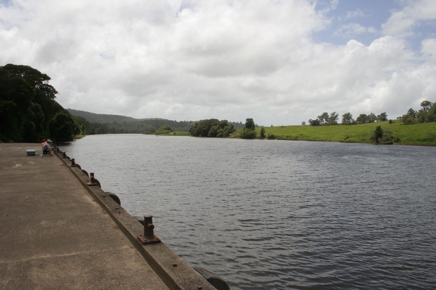
Wingham sits on the Manning River on Biripi country, just upriver from Taree. Named after Wingham in Kent, it was proclaimed a village in 1844. The town still centres on Central Park, an English-style town square that is home to The Log, with the heritage-listed Post Office, built in 1884, on its eastern side.
A short walk away, Wingham Brush Nature Reserve protects a rare patch of subtropical lowland rainforest beside the river, with a boardwalk and a grey-headed flying-fox colony. Isabella Street is the main street, with Bent Street's pub and Services Club close by, and the Wingham Museum on Farquhar Street. At the 2021 Census, 5,395 people lived in Wingham.
02Favourite cafes
- Bent on FoodCafe and providore on the main street95 Isabella St, Wingham NSW 2429Is this your business? Add your details, it’s free for Bent on Food
03Pubs & clubs
- Australian HotelThe town pub24 Bent St, Wingham NSW 2429Is this your business? Add your details, it’s free for Australian Hotel
- Wingham Services ClubClub with dining28-38 Bent St, Wingham NSW 2429Is this your business? Add your details, it’s free for Wingham Services Club
04Parks & walks
- Wingham Brush Nature ReserveSubtropical rainforest by the river, with a boardwalkWingham NSW 2429
- Central ParkThe town square, home to The LogIsabella St, Wingham NSW 2429
05Landmarks
- Wingham Post OfficeHeritage-listed, built in 1884Wynter St, Wingham NSW 2429
- Wingham MuseumRun by the Manning Valley Historical Society12 Farquhar St, Wingham NSW 2429
06Schools
- Wingham Public SchoolPublic primary school157 Murray Rd, Wingham NSW 2429
- Wingham Brush Public SchoolPublic primary school beside Central ParkIsabella St, Wingham NSW 2429
- Wingham High SchoolPublic high school9 Rowley St, Wingham NSW 2429
- St Joseph's Primary SchoolCatholic primary schoolWingham NSW 2429
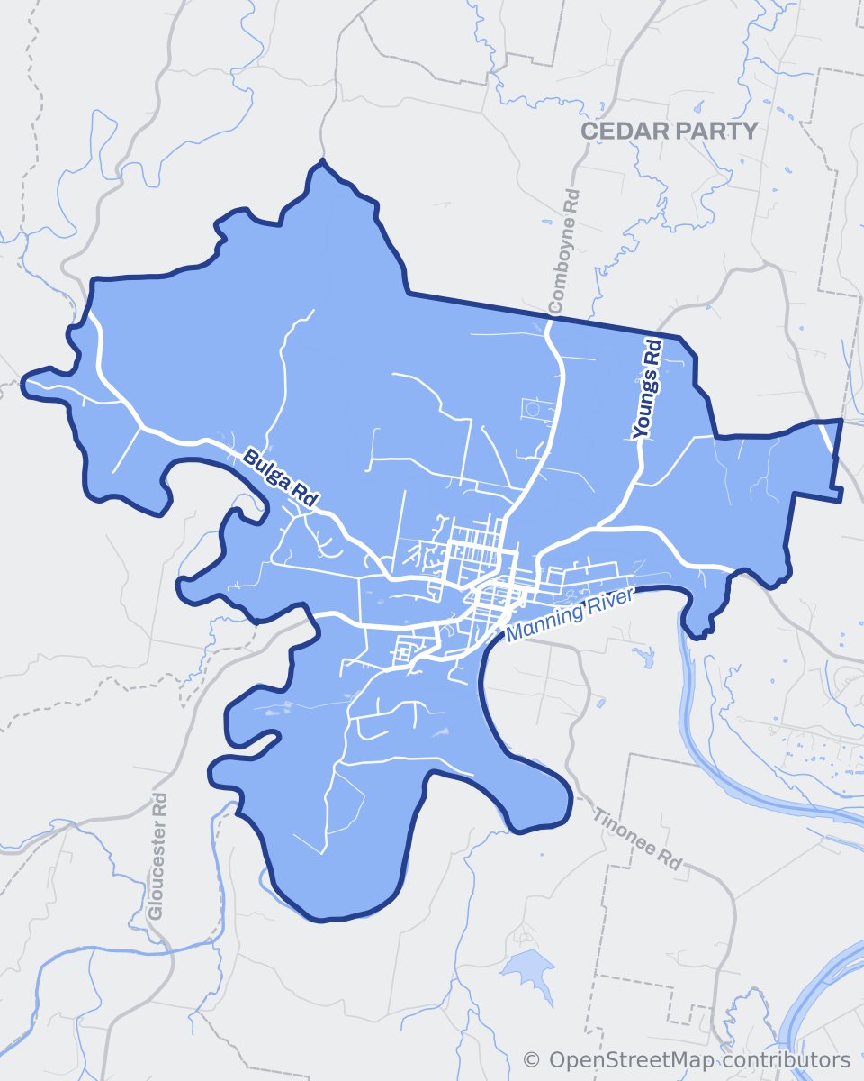
Map
Wingham streets
Pin board
Around Wingham
Places, views and favourite spots around Wingham.
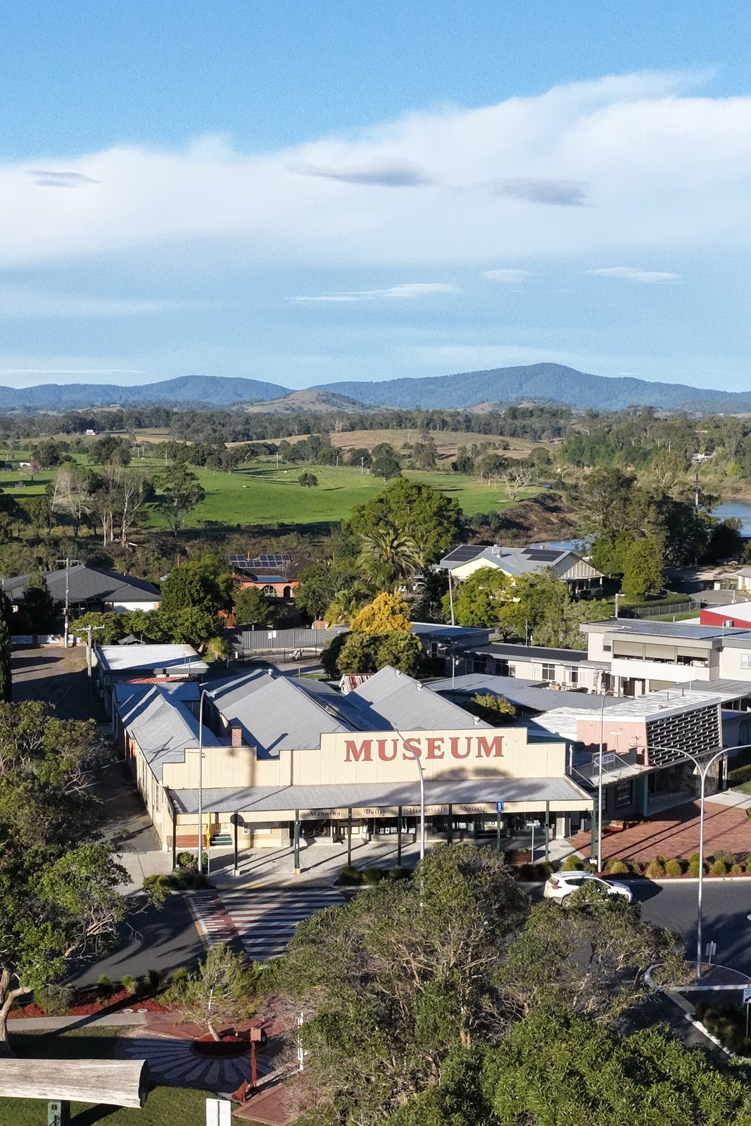 Photo: Crew Agency
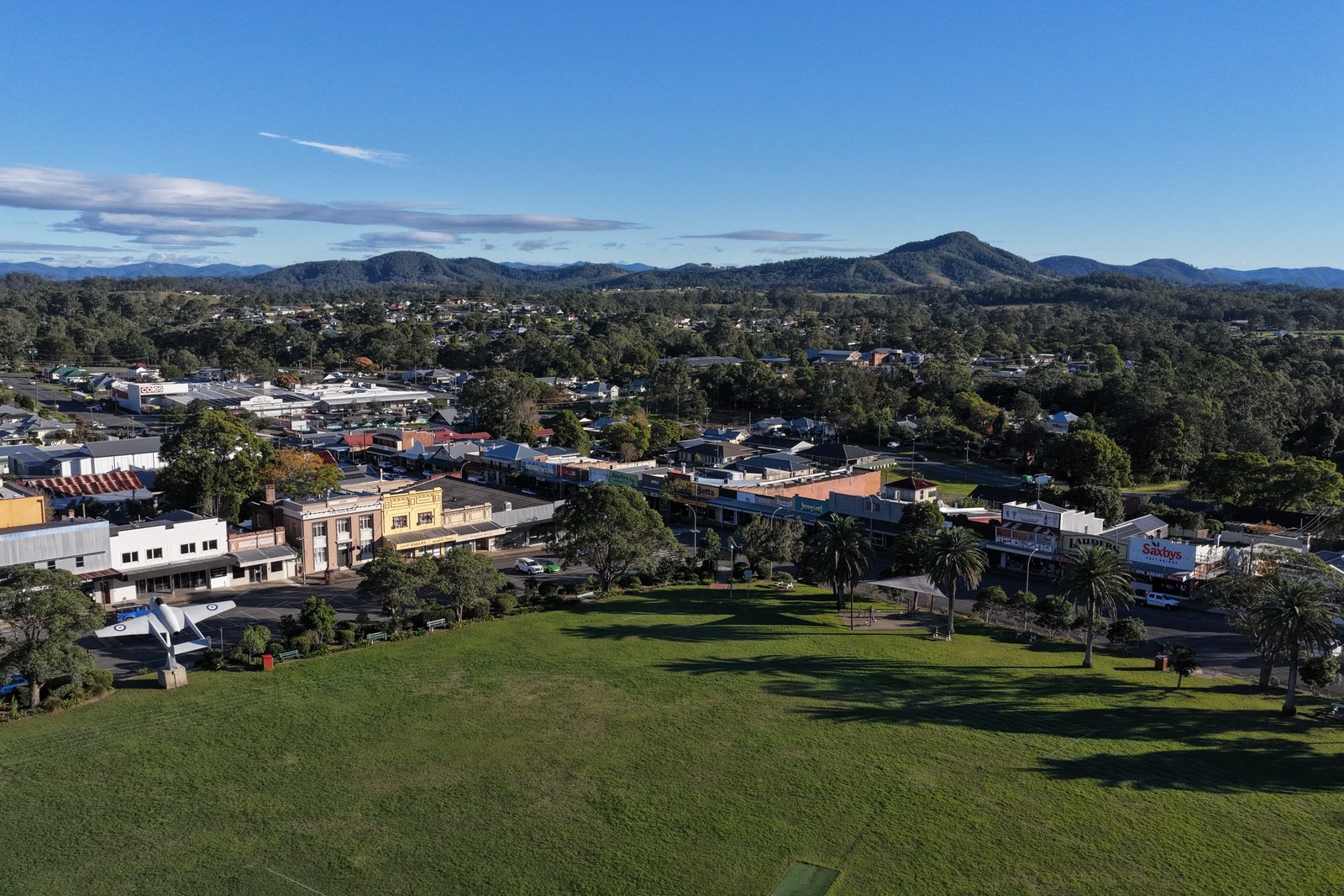 Photo: Crew Agency
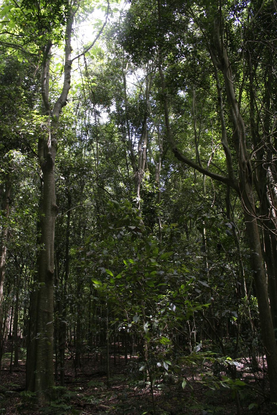 Photo: Grahamec, CC BY-SA 4.0, via Wikimedia Commons
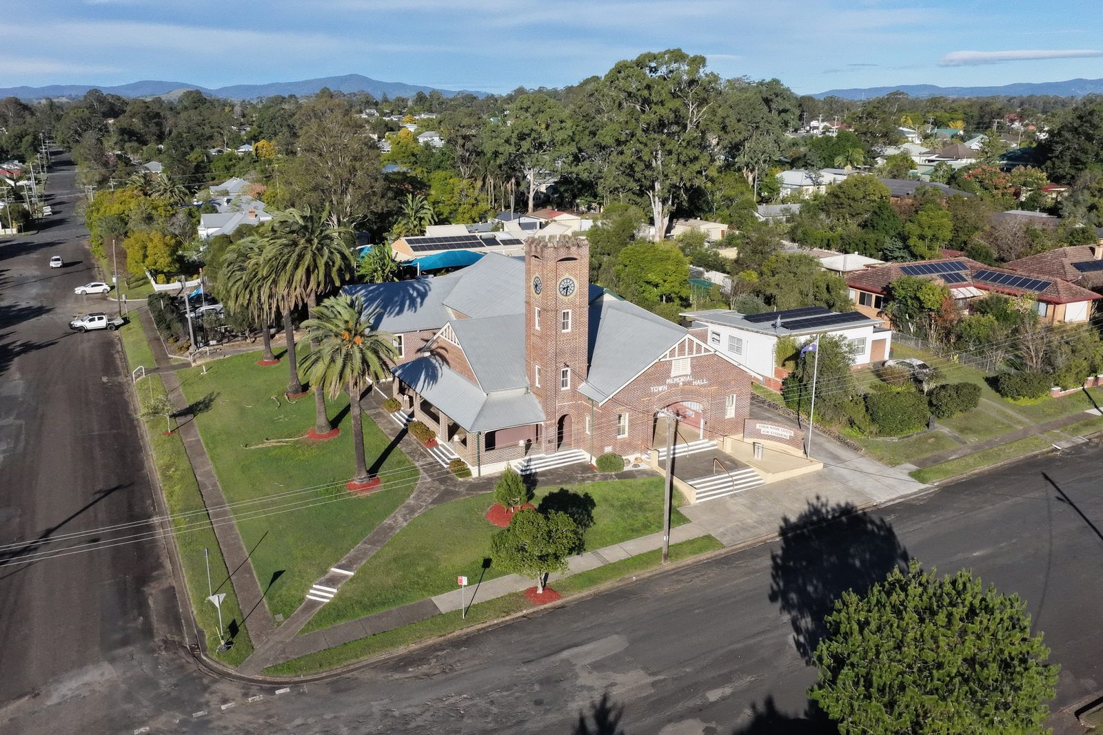 Photo: Crew Agency
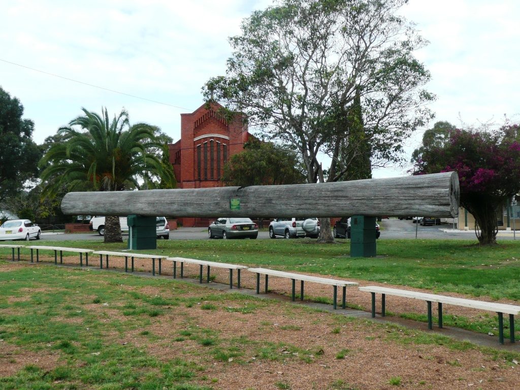 Photo: Blarneytherinosaur, CC BY 3.0, via Wikimedia Commons
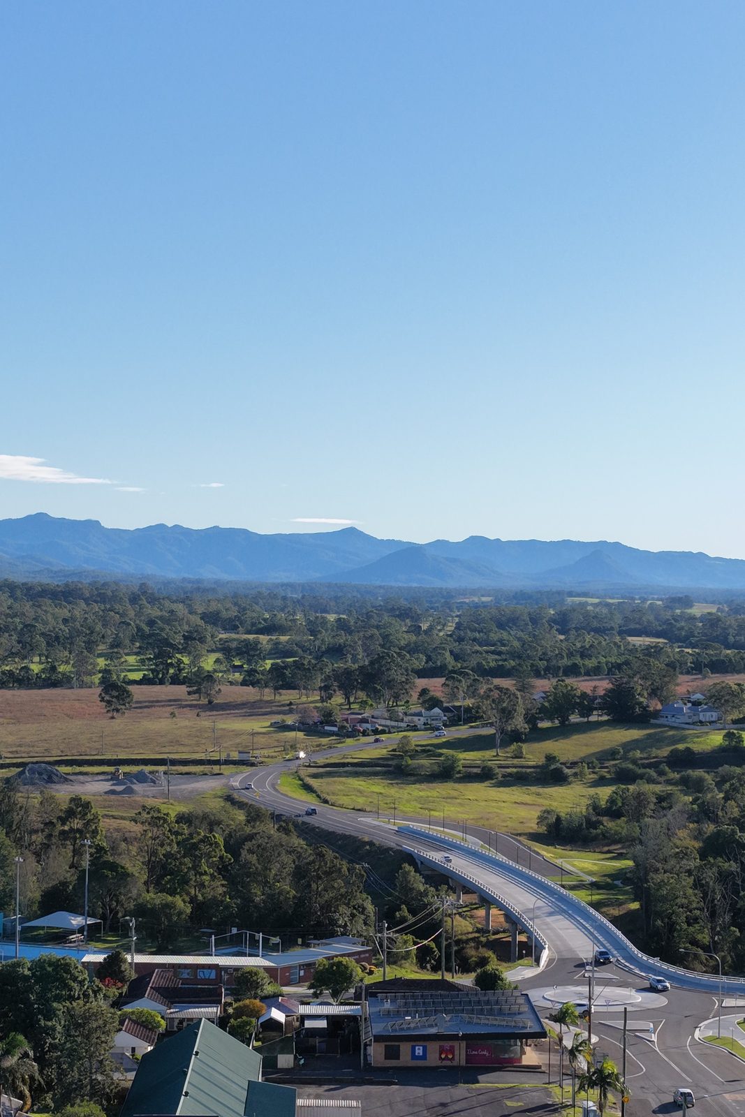 Photo: Crew Agency
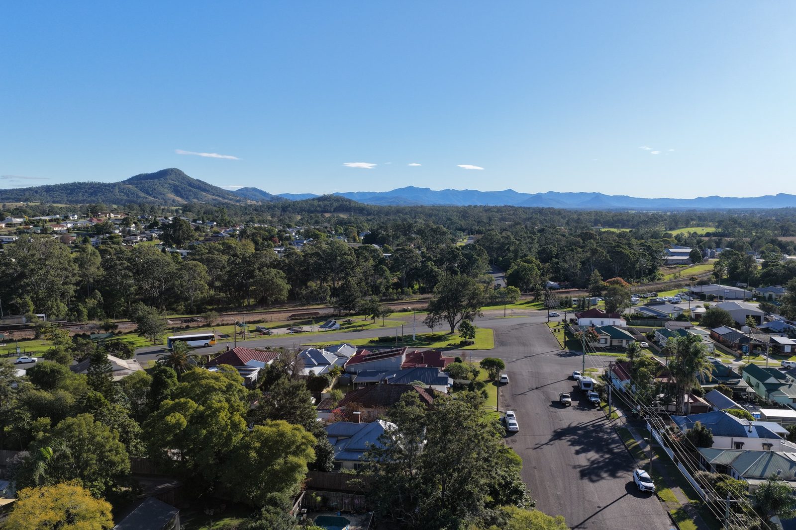 Photo: Crew Agency
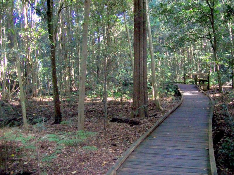 Photo: Poyt448 Peter Woodard, CC0, via Wikimedia Commons
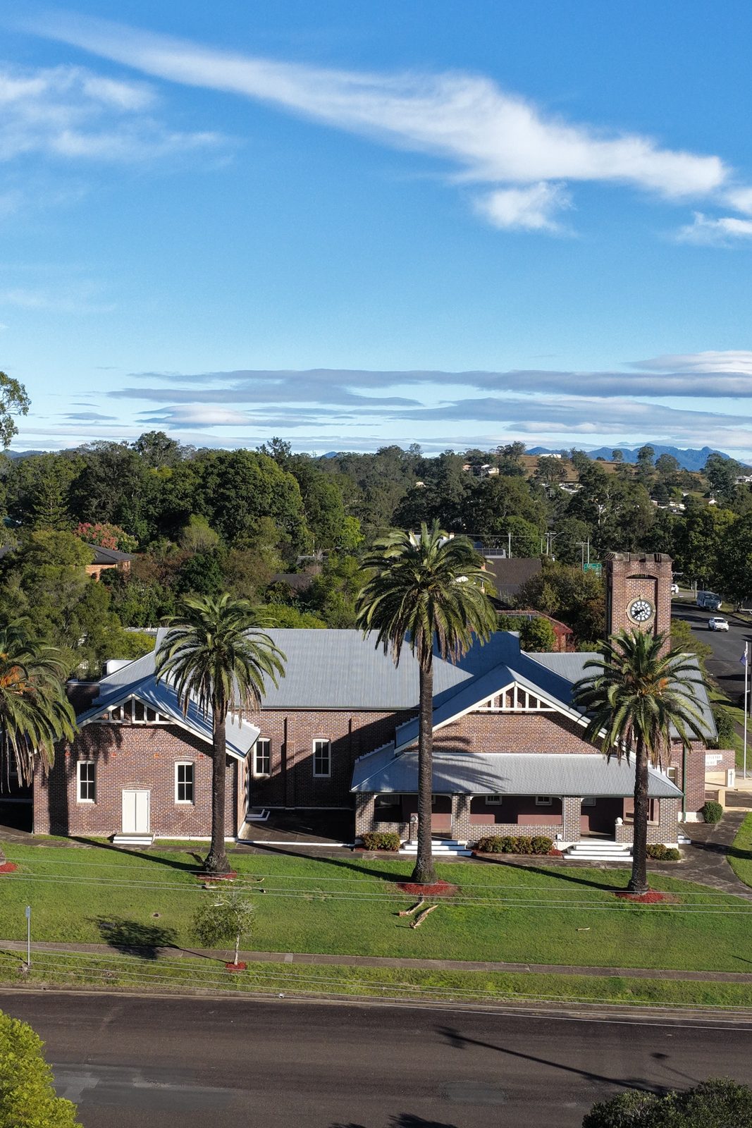 Photo: Crew Agency
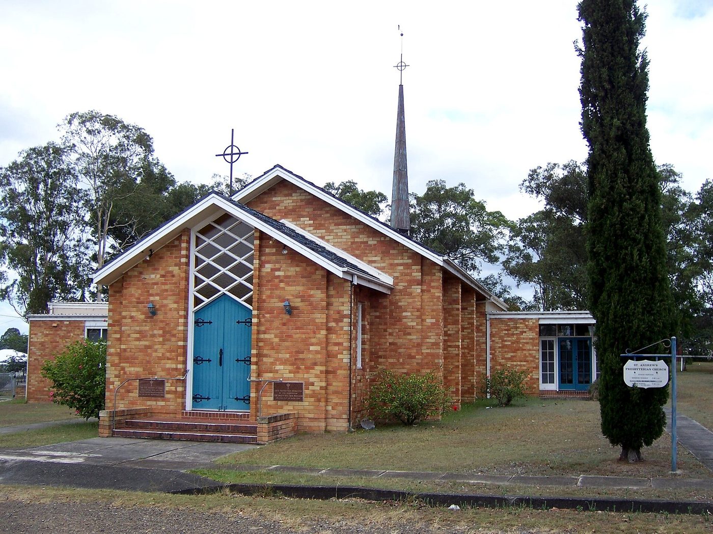 Photo: Blarneytherinosaur, CC BY 2.5, via Wikimedia Commons
Photo credits: Wingham Brush rainforest: Grahamec, CC BY-SA 4.0, via Wikimedia Commons; The Log in Central Park: Blarneytherinosaur, CC BY 3.0, via Wikimedia Commons; Boardwalk through Wingham Brush: Poyt448 Peter Woodard, CC0, via Wikimedia Commons; St Andrew's Presbyterian Church, Wingham: Blarneytherinosaur, CC BY 2.5, via Wikimedia Commons; all other photos: Crew Agency.
Local directory
Around Wingham
Local businesses and places, listed for free. Own one? Add your details.
Cafes & bakeries 1
- Bent on Food95 Isabella St, Wingham NSW 2429bentonfood.com.au · @bentonfoodIs this your business? Add your details, it’s free for Bent on Food
Pubs & bars 2
- Australian Hotel24 Bent St, Wingham NSW 2429@australianhotelwinghamIs this your business? Add your details, it’s free for Australian Hotel
- Wingham Services Club28-38 Bent St, Wingham NSW 2429winghamservicesclub.com.au · @winghamservicesclubIs this your business? Add your details, it’s free for Wingham Services Club
Supermarkets & grocers 1
- Coles WinghamWingham Plaza, Primrose St & Isabella St, Wingham NSW 2429coles.com.auIs this your business? Add your details, it’s free for Coles Wingham
Schools & childcare 4
- St Joseph's Primary SchoolWingham NSW 2429wingham.catholic.edu.auIs this your business? Add your details, it’s free for St Joseph's Primary School
- Wingham Brush Public SchoolIsabella St, Wingham NSW 2429Is this your business? Add your details, it’s free for Wingham Brush Public School
- Wingham High School9 Rowley St, Wingham NSW 2429Is this your business? Add your details, it’s free for Wingham High School
- Wingham Public School157 Murray Rd, Wingham NSW 2429Is this your business? Add your details, it’s free for Wingham Public School
Parks, playgrounds & sport 2
- Wingham Brush Nature ReserveWingham NSW 2429nationalparks.nsw.gov.auIs this your business? Add your details, it’s free for Wingham Brush Nature Reserve
- Wingham Golf ClubCountry Club Dr, Wingham NSW 2429winghamgolfclub.comIs this your business? Add your details, it’s free for Wingham Golf Club
Landmarks & culture 2
- Central Park and The LogIsabella St, Wingham NSW 2429Is this your business? Add your details, it’s free for Central Park and The Log
- Wingham Museum12 Farquhar St, Wingham NSW 2429winghammuseum.com.auIs this your business? Add your details, it’s free for Wingham Museum
Other shops & services 1
- Wingham Motel13 Bent St, Wingham NSW 2429winghammotel.com.auIs this your business? Add your details, it’s free for Wingham Motel
Tradies
Local tradies 2
- KMF Electrical & SolarWingham NSW 2429kmfelectrical.com.auIs this your business? Add your details, it’s free for KMF Electrical & Solar
- Matt King Plumbing & SepticWingham NSW 2429mattkingplumbing.com.au · @matt_king_plumbingIs this your business? Add your details, it’s free for Matt King Plumbing & Septic
Also service this area 2
- Connect Mid Coast ElectricalTaree NSWconnectmidcoast.com.auIs this your business? Add your details, it’s free for Connect Mid Coast Electrical
- Crossingham's PlumbingTaree NSWcrossinghamsplumbing.com.auIs this your business? Add your details, it’s free for Crossingham's Plumbing
Manning Valley
Nearby country
- 2430
Hillville
Rolling hills, big skies and room to breathe.
Postcode 2430
- 2430
Tinonee
A river village with a long story, across the water from Taree.
Postcode 2430
- 2429
Burrell Creek
River flats, quiet farms and a much-loved community hall.
Postcode 2429
Updated October 2026